

To reforest is not just to plant

The journey today is to continue reforestation and enrichment at D01. Operation involves border marking, Geotagging and tree identification where elevation is above 180m.
Upon completion of the orthomosaic data generation - aerial surveillance and ground survey, we progress to border marking and undergrowth clean up concurrently. While we are moving into the coordinates of border points, we start plotting coordinates for existing trees and points where we need to replant trees.
This block was planted with meranti (Shorea), among others and from their sizes, these trees are assumed to have been around for more than ten years. While some grow well, the unfortunate others rupture into the root as landslides and lack of nutrition become the cause of their inability to survive. For our reference, the height, diameters and the girth are taken so we will be able to monitor the tree's further growth progress. There are also other invasive species surviving on these trees and bamboo are growing prolifically near these dipterocarps and soon will be a threat for trees to thrive further.
Through PLANTERS program, a standard of 4m x 4m distance between trees is imposed to allow trees to grow healthily. Hence, plots for replanting trees are carefully located as such for future planting of seedlings.
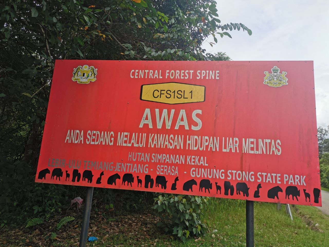
As we go on foot to continue our marking, we spot jungle fowls in the number of many, and holes; homes of the porcupines. We anticipate there will be more wildlife encountered and a system of identification and monitoring will be initiated.
A day full of laughter as Amran naively paints the tree down to the bottom so nobody misses the border.


